NJ Ecological Convergence Map
The Project
I built an open-source Python conservation tool that maps where light pollution threatens wildlife along the NJ coast. It integrates VIIRS satellite data, Cornell Lab of Ornithology's eBird API, NOAA sea turtle nesting sites, and IUCN Red List species scores into a live interactive platform. Features include a threat heatmap, per-species danger scoring, seasonal migration calendar, and a what-if light reduction simulator showing which interventions protect the most species. Anyone can explore it live — no setup needed. Built because I wanted to make an invisible environmental crisis visible and actionable.

About the team
Team members
More cool Advanced programming projects
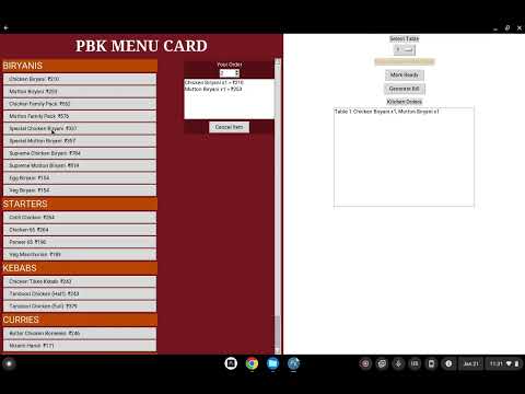
smart menu card
Advanced programming
計分小工具
Advanced programming

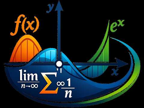
Math Functions
Advanced programming